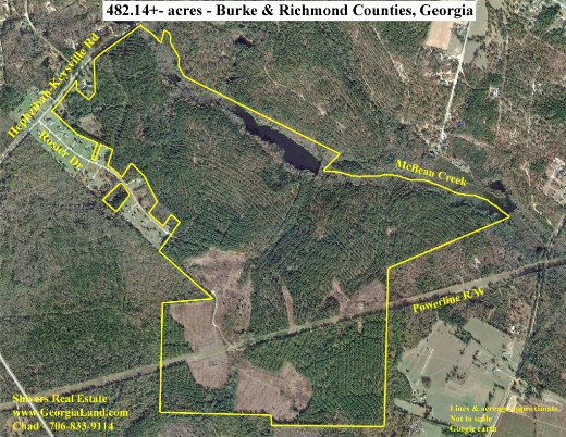
One of my favorite and most useful tools in the land business is an aerial photo. It provides so much information about a property, showing its shape and features like open vs wooded land, timber types, roads, creeks, rivers, ponds, and the makeup of neighboring properties. It’s also an invaluable tool in planning farm, forestry, and wildlife management operations.
When I started selling land in 1995, the only aerial photos we had access to were blueline copies in the County Tax Assessor Offices, and some of these were very dated. We used a planimeter to calculate acreages from these photos. Technology has changed all of that. Now we’re able to digitally access recent aerial photos and manipulate them to make a very good presentation of each property we market for sale. We’re able to use the photos and software to calculate open, irrigated, and wooded acreages on a property. Google Earth even has a historical imagery feature, where one can view maps of a particular property dating back to 1993. You can see changes made to the property over the years: when timber was harvested, land cleared, roads built, etc. You’ll also see how much the quality of the photos has improved over time.
When someone calls about selling a piece of land, I can’t wait to get my hands on an aerial photo. It’s the first step to getting to know the tract. While nothing compares to seeing and discovering a property in person, an aerial photo gives an excellent preview.
Chad Shivers
Broker
Shivers Real Estate Investments, Inc.
Cell: (706)833-9114
www.GeorgiaLand.com